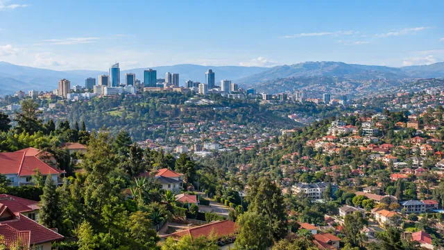
City of Kigali
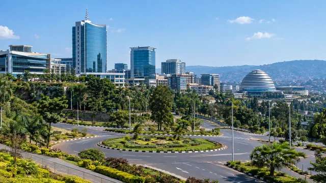
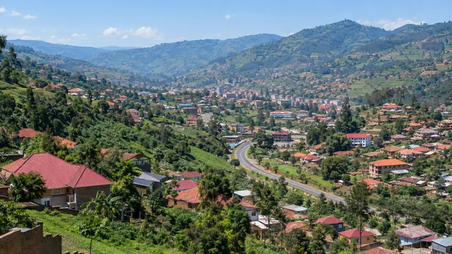
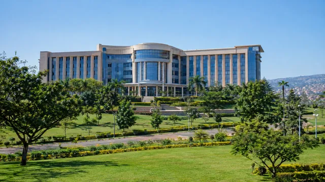
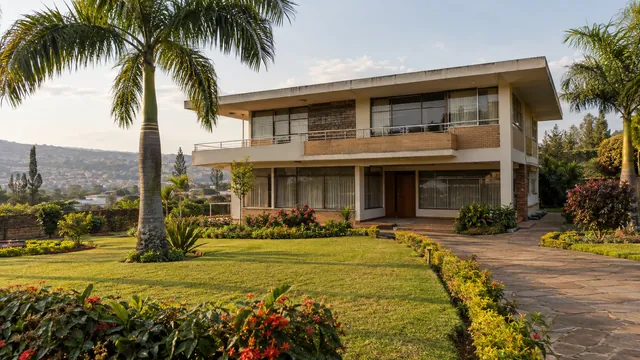
Rwanda’s capital province: three districts, 1.7 million people, the main zone and the airport.
1,745,555 People in the City of Kigali, 2022 census
Read moreType at least two letters to see matching pages.
Regions
The City of Kigali, the four provinces, the 30 districts and the cities where investors set up.
Map
Point at a province for a preview, or at a city for its guide. Each province page covers its districts, towns, economic zones and land.
Regions
Rwanda’s capital province: three districts, 1.7 million people, the main zone and the airport.
1,745,555 People in the City of Kigali, 2022 census
Read more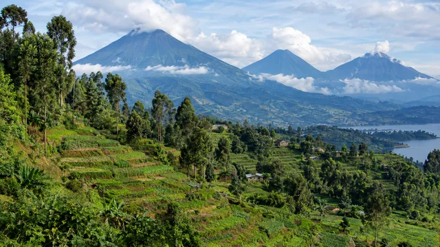
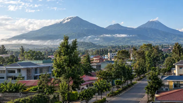
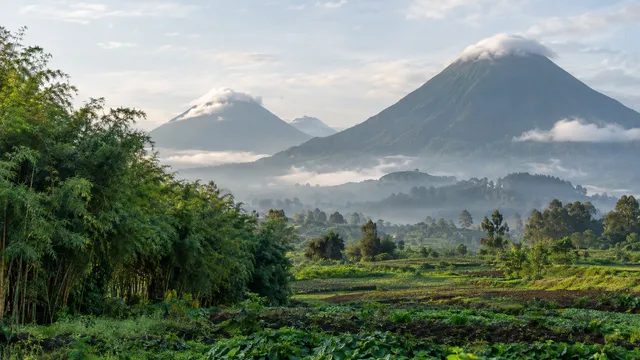
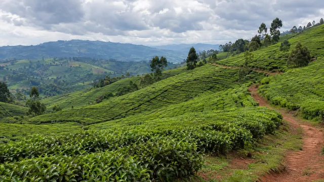
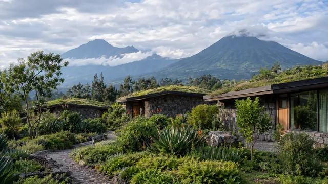
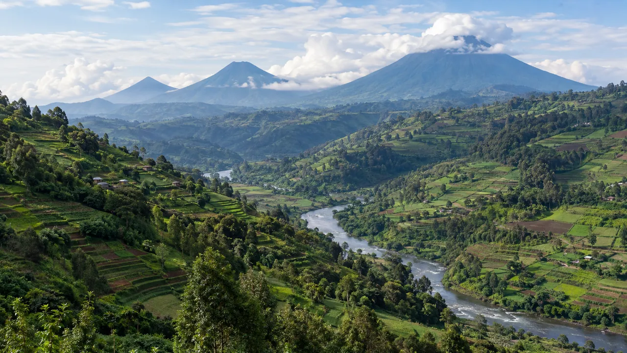
Five districts, Musanze, the volcanoes and the road to Uganda.
2,038,511 People in the Northern Province, 2022 census
Read more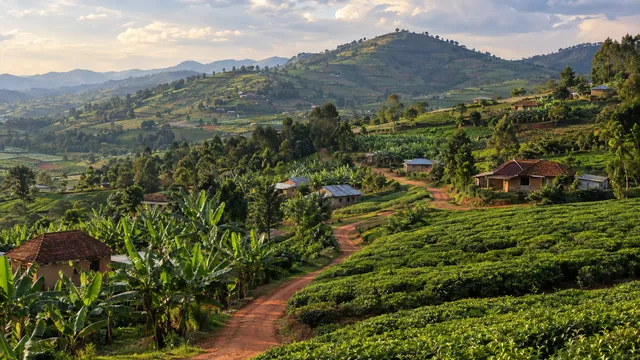
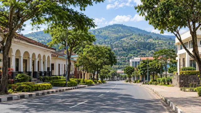
Eight districts, Huye and Muhanga, the university town and the road south.
3,002,699 People in the Southern Province, 2022 census
Read more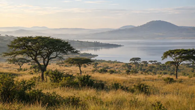
Seven districts, the new Bugesera airport, Akagera and the borders with Tanzania and Uganda.
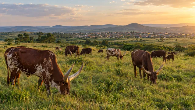
3,563,145 People in the Eastern Province, 2022 census
Read more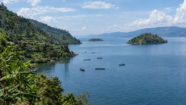
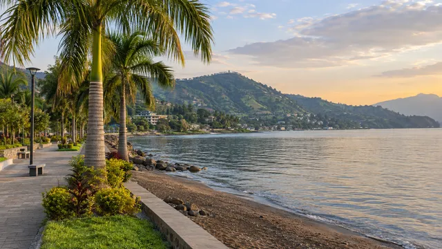
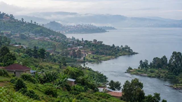
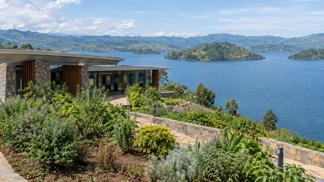
Seven districts on Lake Kivu, Rubavu and Rusizi, and the border with the DRC.
2,896,484 People in the Western Province, 2022 census
Read more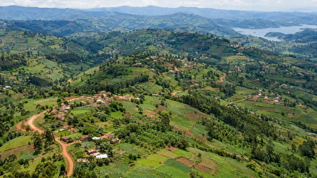
All 30 districts on one map, with population, unemployment and pay.
30 Districts
Read more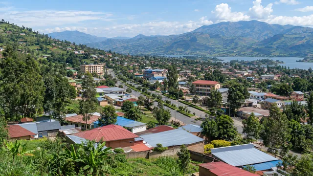
Kigali, the six secondary cities and the other district towns.
6 Secondary cities chosen as poles of growth
Read more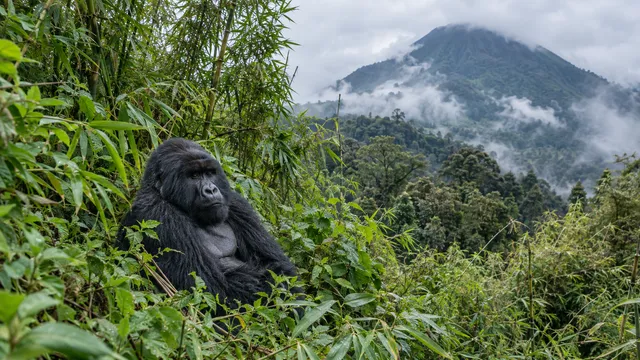
Volcanoes, Akagera, Nyungwe and Gishwati-Mukura: areas, permits and revenue.
4 National parks
Read more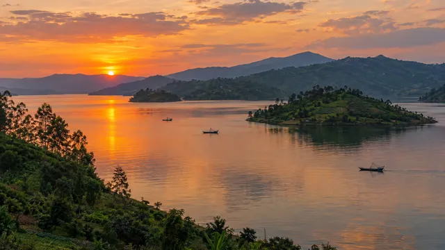
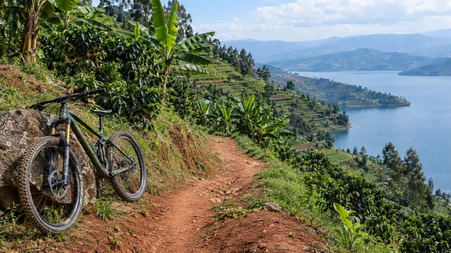
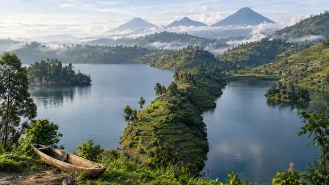
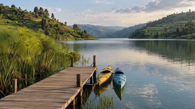
Ports, methane power, the shoreline rule and the five lake districts.
2,730 km² Surface area of the lake, shared with the DRC
Read more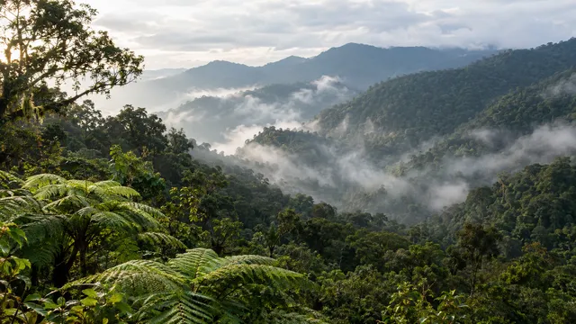
Nyungwe National Park and the four memorial sites, both inscribed in 2023.
2 World Heritage sites, both inscribed in 2023
Read more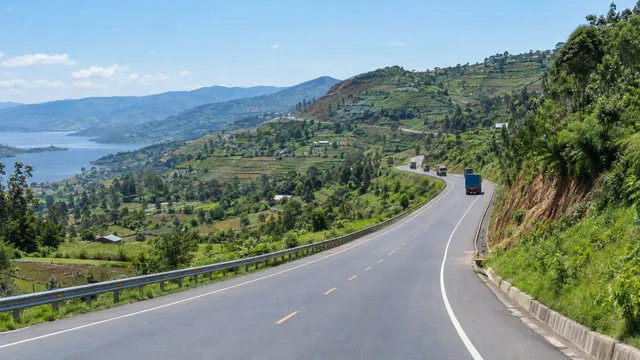
The 19 land border posts, the main freight crossings and their status in 2026.
19 Land border posts
Read more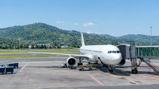
Kigali International, the new Bugesera airport and the regional airports.
3 Airports, plus three airstrips
Read more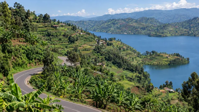
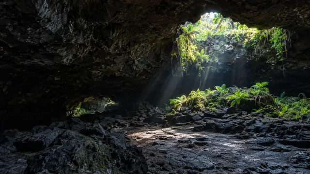
National museums, lakes, the Congo Nile Trail and caves, on one map.
8 National museums, in 7 districts
Read more4 guides
5 guides
Compare
Population, land and age in Rwanda and five other African countries, from the World Bank.
| Measure | Rwanda | Kenya | Ethiopia | Ghana | Morocco | Botswana |
|---|---|---|---|---|---|---|
| Population, 20251 | 14,569,341 | 57,532,493 | 135,472,051 | 35,064,272 | 38,430,770 | 2,562,122 |
| Land and water area, 20242 | 26,340 km² | 591,970 km² | 1,129,819 km² | 238,539 km² | 446,550 km² | 581,730 km² |
| People per square kilometre of land, 20243 | 599.9 | 97.2 | 117.7 | 151.3 | 85.3 | 4.4 |
| Population growth, 20254 | 2.2% | 1.9% | 2.6% | 1.8% | 0.9% | 1.6% |
| Aged 0 to 14, share of people, 20255 | 37.0% | 36.3% | 38.8% | 35.4% | 25.2% | 32.0% |
| Life expectancy at birth, years, 20246 | 68.0 | 63.8 | 67.6 | 65.7 | 75.5 | 69.3 |
Checked: November 2026
Rwanda is divided into the City of Kigali and four provinces: Northern, Southern, Eastern and Western. They contain 30 districts, 416 sectors and 2,148 cells.
The Eastern Province, with 3,563,145 people at the 2022 census, followed by the Southern Province with 3,002,699. The City of Kigali had 1,745,555 people and is the most densely populated, with 2,401 people per km².
The government chose six secondary cities as poles of growth: Musanze, Rubavu, Huye, Muhanga, Rusizi and Nyagatare. Rubavu has the highest urban share outside Kigali, at 53.9%.
Rwanda has four national parks: Volcanoes, Akagera, Nyungwe and Gishwati-Mukura. They recorded 155,394 visits and USD 40.8 million of revenue in 2025, and Nyungwe is a UNESCO World Heritage site.
Next step
Lawyers, accountants, office landlords and recruiters, listed in the InvestRwanda.com directory by province and district.
InvestRwanda Assistant
Guides, provinces and companies for your plans in Rwanda
What are you looking to do in Rwanda today?
Answers are written by AI and can be wrong: check the linked pages. Please do not enter personal details.