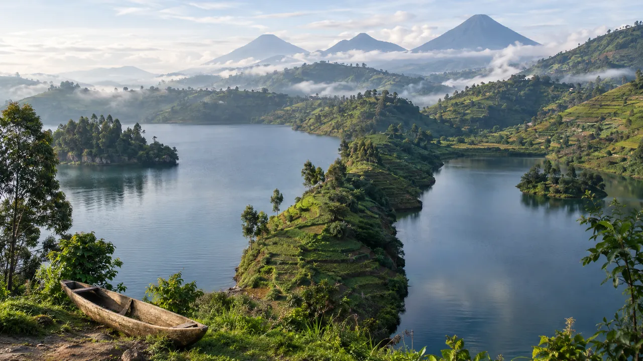
Twin Lakes: Burera and Ruhondo
At a glance
| Lake Burera | Lake Ruhondo | |
|---|---|---|
| Area | 55 km² | 26.6 km² |
| Altitude | 1,860 m | 1,752 m |
| Depth given by MINAGRI | 179 m | 68 m |
| Water temperature | 10–25 °C | 10–24 °C |
Source: Ministry of Agriculture and Animal Resources: National Aquaculture Strategy for Rwanda 2023–2035 (FAOLEX copy)1
The wetland and the lakes
The Rugezi marsh, east of Lake Burera, feeds both lakes. With the two lakes it forms the Rugezi-Burera-Ruhondo site of 6,736 ha, listed as a wetland of international importance under the Ramsar Convention on 12 January 2005.2
Visiting
Visit Rwanda lists the lakes of Karago, Burera and Ruhondo among the excursions from Musanze, with the caves, cycling tours and the Buhanga Eco-Park. Musanze is at 1,850 m, 13 km from the Volcanoes National Park headquarters at Kinigi.3
Frequently Asked Questions
How large are Lakes Burera and Ruhondo?
Lake Burera covers 55 km² and Lake Ruhondo 26.6 km², according to the Ministry of Agriculture.
Are the twin lakes a protected wetland?
Yes. With the Rugezi marsh they form the Rugezi-Burera-Ruhondo Ramsar site of 6,736 ha, listed on 12 January 2005.
How do you visit the twin lakes?
As an excursion from Musanze, the nearest town, east of the Volcanoes National Park.
Sources
- Ministry of Agriculture and Animal Resources: National Aquaculture Strategy for Rwanda 2023–2035 (FAOLEX copy)
- Ramsar Sites Information Service: Rugezi-Burera-Ruhondo
- Visit Rwanda (Rwanda Development Board): Musanze
Figures checked 10 November 2026. Prepared by InvestRwanda.com for general information. Figures come from the sources listed.