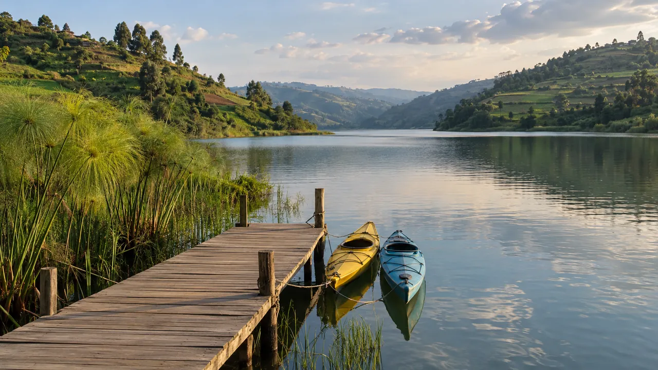
Lake Muhazi
At a glance
| Area | 33 km² |
|---|---|
| Altitude | 1,443 m |
| Average depth | 10 m |
| Water temperature | 12–27 °C |
| Outflow | Nyabugogo River, through a dyke at the outlet |
Source: Ministry of Agriculture and Animal Resources: National Aquaculture Strategy for Rwanda 2023–2035 (FAOLEX copy); Rwanda Water Resources Board: Projects, Muhazi dyke1,2
Water and the dyke
The Rwanda Water Resources Board describes a lake fed by a watershed of 870 km² and drained by the Nyabugogo River, with an earth dyke at its outlet. The board’s projects include work on the Muhazi dyke to control the outflow.2
Visiting
Visit Rwanda lists Lake Muhazi as a fishing and beach camping destination with resorts and restaurants. Lakeside lodges offer boat and kayak tours.3,4
Frequently Asked Questions
How large is Lake Muhazi?
33 km², at an altitude of 1,443 m, with an average depth of about 10 m.
Where does Lake Muhazi drain?
Into the Nyabugogo River, through a dyke at the outlet of the lake.
What can visitors do at Lake Muhazi?
Boat and kayak tours, fishing and stays at lakeside lodges and resorts.
Sources
- Ministry of Agriculture and Animal Resources: National Aquaculture Strategy for Rwanda 2023–2035 (FAOLEX copy)
- Rwanda Water Resources Board: Projects, Muhazi dyke
- Visit Rwanda (Rwanda Development Board): Rwanda key tourist attractions
- Visit Rwanda (Rwanda Development Board): Two-day experiences, Lake Muhazi
Figures checked 10 November 2026. Prepared by InvestRwanda.com for general information. Figures come from the sources listed.